
PolyU develops seamless urban navigation system

Nowadays, it is common to use digital maps on smartphones to navigate. It requires reliable positioning and navigation supported by Global Navigation Satellite Systems (GNSS). But in densely built-up urban areas with skyscrapers like Hong Kong, positioning may be inaccurate because satellite signals are blocked by or bounced off tall buildings.
To overcome the problems of satellite positioning in urban areas, Professor Chen Wu, Head of PolyU’s Department of Land Surveying and Geo- Informatics, led a research team to develop a Seamless Urban Navigation System. Applying this novel system, the positioning accuracy is within 10 metres for smartphones.
Special features and advantages
Integrates the signals of multiple GNSSs to achieve high precision positioning
Integrates with smartphones’ built-in sensors to improve the accuracy of positioning without the need for extra hardware
Applies Differential Global Navigation Satellite System to smartphones to achieve 1-2 metre accuracy in open areas
Mitigates multipath effects to provide positioning accuracy of within 10 metres in dense urban areas for smartphones
Applications
Navigation
Smart city solutions
Development of self-driving cars
Accessing major GNSSs for high accuracy positioning
To achieve high precision positioning, researchers integrated measurements provided by multiple GNSSs - China’s BeiDou, the US’s GPS, Europe’s Galileo and Russia’s GLONASS. “To precisely determine a position, we need to receive signals from at least four satellites, preferably in direct lines-of-sight,” Professor Chen said.
“The accessibility to the satellites across different GNSS platforms boosts the chance of receiving signals. The most popular platform, GPS, has around 30 satellites. Integrating all four above-mentioned GNSSs means gaining access to more than 100 satellites, making the chance of access to line-of-sight satellites from a location twice as high.”
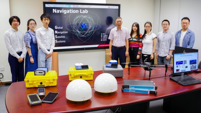
To achieve high positioning precision, Professor Chen Wu (fifth from right) and his research team integrated the measurements provided by multiple GNSSs.
Overcoming the multipath problem in urban areas
Tall buildings in cities also give rise to the multipath problem. Professor Chen explained: “Multipath happens when not all signals received are directly from satellites. Signals that are reflected or diffracted by a structure travel a longer path, leading to incorrect measurements and inaccuracy.”
As a result, it is important to distinguish between direct signals and bounced ones. Making reference to 3D city models that record the shape and height of buildings, the research team utilised positioning algorithms to establish which satellites received direct signals from a location, and which satellites got signals that were reflected or diffracted. Based on this information, distance measurements could be rectified for higher positioning accuracy.
Improved navigation leveraging built-in smartphone sensors
“The system also enhances its navigation accuracy by leveraging the built-in sensors of smartphones, such as gyroscope, accelerometer, magnetometer, inertia measurement unit, and even step counters,” Professor Chen said. If there are many smartphones in an area, the collective information gathered on walking speeds, directions and positions can also help improve the accuracy of the system.
An award-winning invention that benefits society
The system was used in a consultancy project by the Cartography and Cadastre Bureau of Macao SAR to develop part of the Macau Geo Guide to provide accurate, efficient and convenient geographic information services for city residents and tourists. The Guide won a technology innovation accolade in the 2018 Euro-China Green and Smart City Awards for providing smart living solutions.
The system also won a Silver Medal in the Special Edition 2021 Inventions Geneva Evaluation Days - Virtual Event and a Hong Kong Smart City Award (Smart Mobility Category) in 2018.


