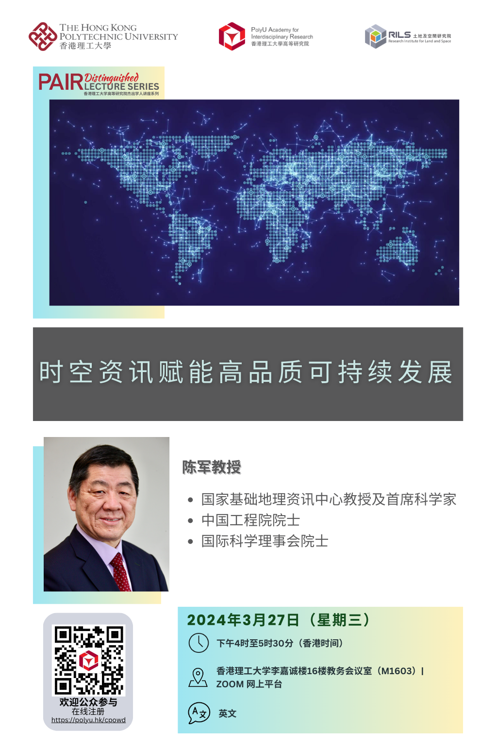
Skip to main content Start main content

PAIR Distinguished Lecture Series: Geo-spatial Information for Local SDGs Monitoring

Conference / Lecture

15265_214EventImage
  • Date

    27 Mar 2024

  • Organiser

    PolyU Academy for Interdisciplinary Research

  • Time

    16:00 - 17:30

  • Venue

    Senate Room (M1603), 16/F, Block M, PolyU Map  

Speaker

Prof. CHEN Jun

Remarks

Open to public

15265_214ImageforSummary

Summary

A systematic follow-up and review through indicators-based tracking and reporting of the progress towards 2030 Sustainable Development Goals (SDGs) through integration of statistical and geo-information is a challenging task and hot topic for both governmental agencies and scientific communities.

This presentation will present an United Nation recognized good practice on geospatial information-enabled SDGs monitoring, which demonstrates how the overall SDGs progress at a local context can be well measured through developing a set of indicator-based, data driven and evidence-supported approached with a geographic perspective, and establishing a cooperative partnership among all stakeholders to mobilize resources. The follow-up and review results provided not only an overall picture about how far the study area is from the 2030 SDGs, but also helped the local government to formulate a five-year action plan to address the identified gaps and challenges with tangible actions and allocated resources.

Although geo-spatial information played a critical and irreplaceable role, the current 2-2.5 D data used had demonstrated some limitations. More reliable data and automatic techniques remain to be developed. This presentation further presents China’s national program on the development of 3d Realistic Geospatial Landscape Model (3dRGLm), which is a new generation geospatial data product with 3D structures, realistic scenes, and geospatial entities.

Keynote Speaker

Prof. CHEN Jun

Prof. CHEN Jun

Professor/Chief Scientist at the National Geomatics Center of China, Beijing, China

Prof CHEN Jun is the past president of ISPRS. As a leading scientist affiliated with National Geomatics Center of China, he is an expert in operational land cover and topographic mapping with space/airborne remote sensing. He had led China’s global land cover mapping project and produced the world’s first 30-m earth land cover map, GlobeLand30, which has been widely utilized by United Nations and about 140 countries. He has also established a dynamic topographic updating system and produced accurate maps for whole of China. He had also completed a pioneer project to measure the progress toward SDGs at a local level in China (i.e., Deqing County) with geospatial and statistical information, which was selected and announced by UN as one of the first 16 good SDGs practices in 2020. During his 40 year’s professional career, CHEN Jun has published more than 300 publications and 4 books, and received a number of international and national scientific awards. He was elected as an academician of Chinese Academy of Engineering in 2019, elected as a honorary member of ISPRS in 2022, and nominated as a fellow of International Scientific Council.

Your browser is not the latest version. If you continue to browse our website, Some pages may not function properly.

You are recommended to upgrade to a newer version or switch to a different browser. A list of the web browsers that we support can be found here