Reliable Navigation and Smart Transport Techniques for Highly Dense Urban Areas

Knowledge Transfer
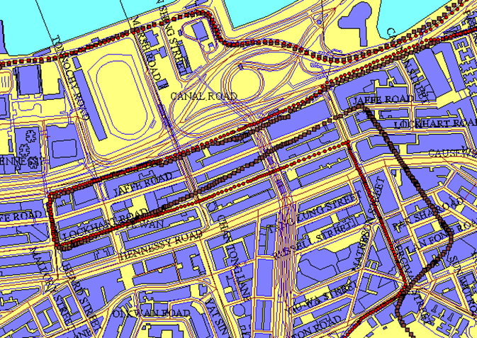
Location-based services and vehicle navigation have become emerging spatial information technologies. The GNSS-based (Global Navigation Satellite Systems) positioning and navigation technology is the cornerstone for numerous applications in modern society. A research group in LSGI has identified a number of key problems related to GNSS positioning and navigation in dense urban areas like Hong Kong. These include the effects of low latitude ionosphere anomaly, a highly humid GNSS observation environment, and canyon effect. GNSS has also been integrated with GIS (Geographic Information System) for vehicle navigation and public transport systems. Such work addresses some of the key problems in intelligent transportation systems (ITS) with great industrial and societal impact.
In addition to the development of a land vehicle navigation system with 95% reliability, the research team also developed a public transport enquiry system that has been available for public use since 2010. With over 20,000 users per day and more than 1,000,000 downloads of the mobile apps version, the product for enhancing the public transport system has won a Merit Award in Mobile Infotainment of HK Wireless Technology Excellence Award (2005), a Best Public Service Application Silver Award in ICT Award (2009) and a Meritorious Award of the Civil Service Outstanding Award (2011).
A reliable land vehicle navigation system

We use Cookies to give you a better experience on our website. By continuing to browse the site without changing your privacy settings, you are consenting to our use of Cookies. For more information, please see our Privacy Policy Statement.
Your browser is not the latest version. If you continue to browse our website, Some pages may not function properly.
You are recommended to upgrade to a newer version or switch to a different browser. A list of the web browsers that we support can be found here