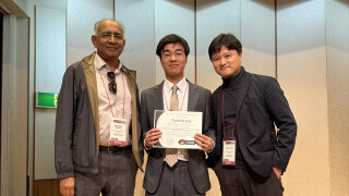
PolyU RILS and Moganshan Geospatial Information Laboratory Launch Key Laboratory to Advance Geospatial Innovation for Global Sustainability
Other Articles

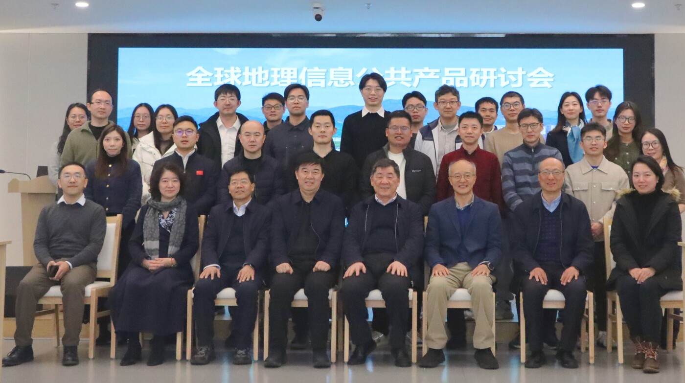
The PolyU Research Institute for Land and Space (RILS) earlier entered into a formal collaboration with the Moganshan Geospatial Information Laboratory to establish the Key Laboratory of Geospatial Knowledge Innovation, under the Ministry of Natural Resources of the Central People’s Government. To mark the launch of the laboratory, the two sides co-organised the Forum for Global Geospatial Public Products in Deqing on 28 January 2026.
The Key Laboratory of Geospatial Knowledge Innovation will be co-directed by Prof. CHEN Jun, Director of Moganshan Geospatial Information Laboratory and Academician of the Chinese Academy of Engineering, and Prof. DING Xiaoli, Director of RILS and Chair Professor of Geomatics at PolyU.
The forum featured speeches by the two co-directors, who highlighted the strategic importance and development opportunities of global geospatial public products. Leading experts and scholars from other universities and national research institutions also attended the forum, presenting their latest research and practical experiences and engaging in in-depth discussions on topics such as the development of public product systems, transformation of scientific research achievements and services to developing countries.
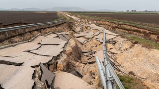
The new key laboratory focuses on three major challenges in geospatial information: dynamic geospatial information acquisition, systematic analysis and knowledge services. Through interdisciplinary, cross-regional and cross-institutional research, the two sides aim to produce precise, reliable and multidimensional dynamic global geospatial data, information and knowledge products, while also strengthening talent development and professional exchanges in the related fields. These outputs are expected to provide high-quality geospatial knowledge services for the United Nations’ ecological governance, disaster early warning, food security, climate change monitoring and sustainable forest management.
Under the agreement, the two sides will carry out research in four directions including global geospatial crowdsourced sensing, global geospatial scenario system analysis, global geospatial knowledge product development and global geospatial knowledge services, and will jointly launch related geospatial knowledge innovation technologies and products. They will also promote talent exchange and development through activities such as lectures, conferences, forums and mutual visits.
Grounded in surveying and mapping science, the Key Laboratory of Geospatial Knowledge Innovation, Ministry of Natural Resources integrates multidisciplinary knowledge from geography, ecology and other fields together with intelligent technologies such as big data, artificial intelligence (AI) and the Internet of Things (IoT) for research on relevant theories, key technologies and application models. The laboratory is steered and governed by leading experts from PolyU, Moganshan Geospatial Information Laboratory, and its partner institutions.