


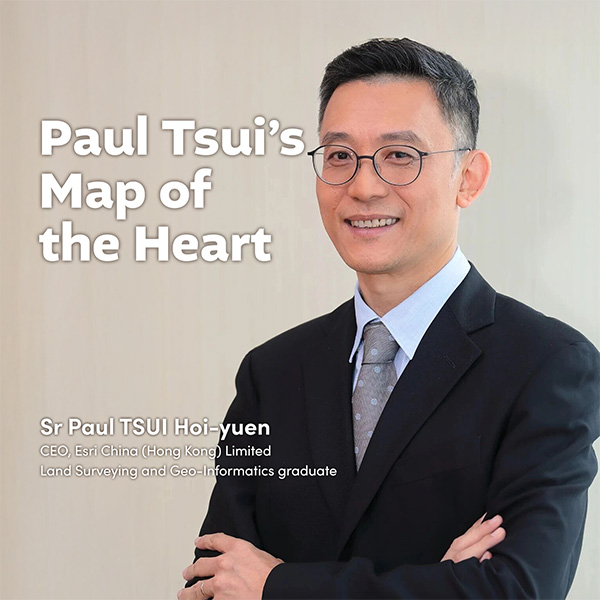
Sr Paul TSUI Hoi-yuen
CEO, Esri China (Hong Kong) Limited
Land Surveying and Geo-Informatics graduate
“PolyU is where my ‘home’ began.”
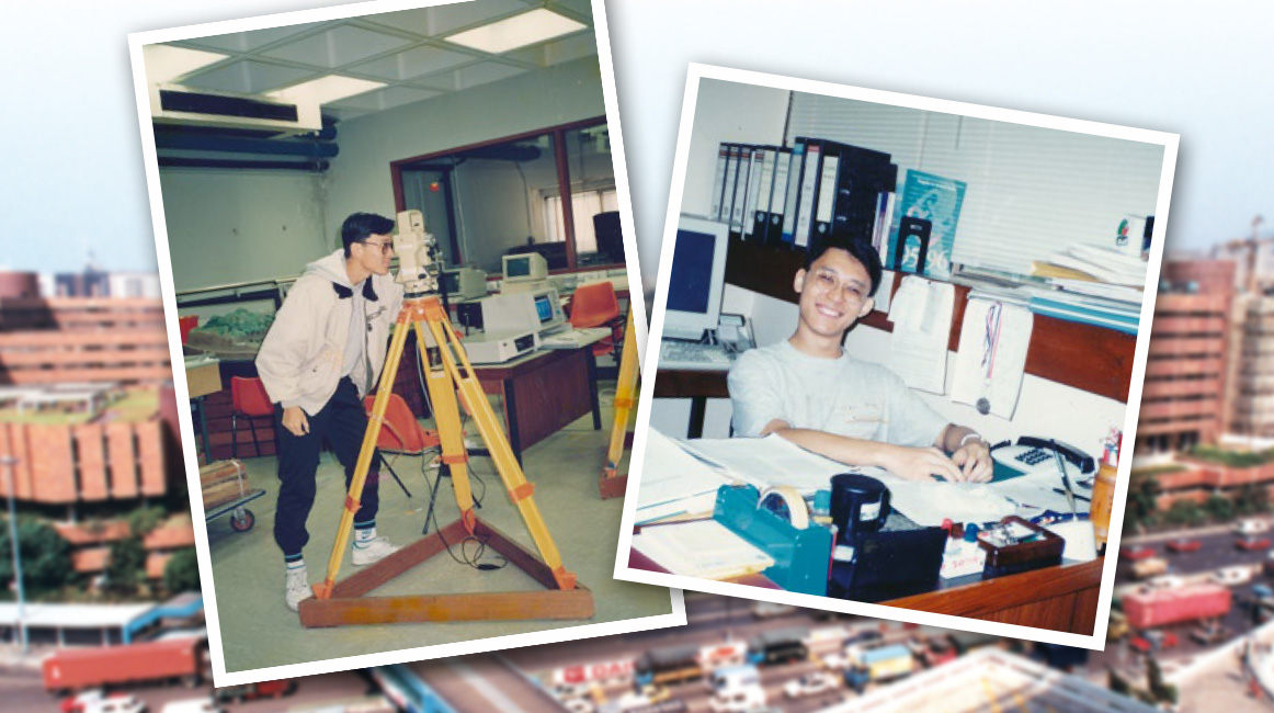
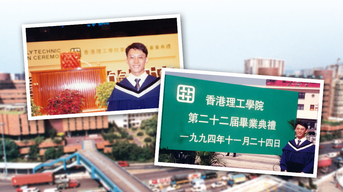
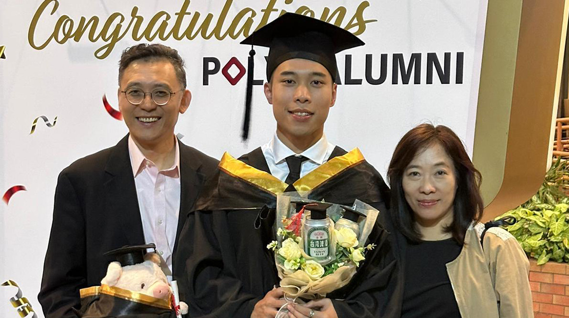
A university is more than a cradle of knowledge; it is where lifelong memories take root. For Sr Paul Tsui Hoi-yuen, PolyU has shaped many defining moments of his life. The Department of Land Surveying and Geo-Informatics (LSGI) guided him into his profession, while the campus of the 1990s brought him together with his wife. From the lawn outside the Main Building to the Hong Kong Coliseum, where the Hong Kong Polytechnic held its final graduation ceremony, those formative years now live on in family photographs. It was only natural that PolyU became the first university his son came to know. Today, his son has completed his own chapter at the same institution and, like his parents, joined the PolyU alumni family.
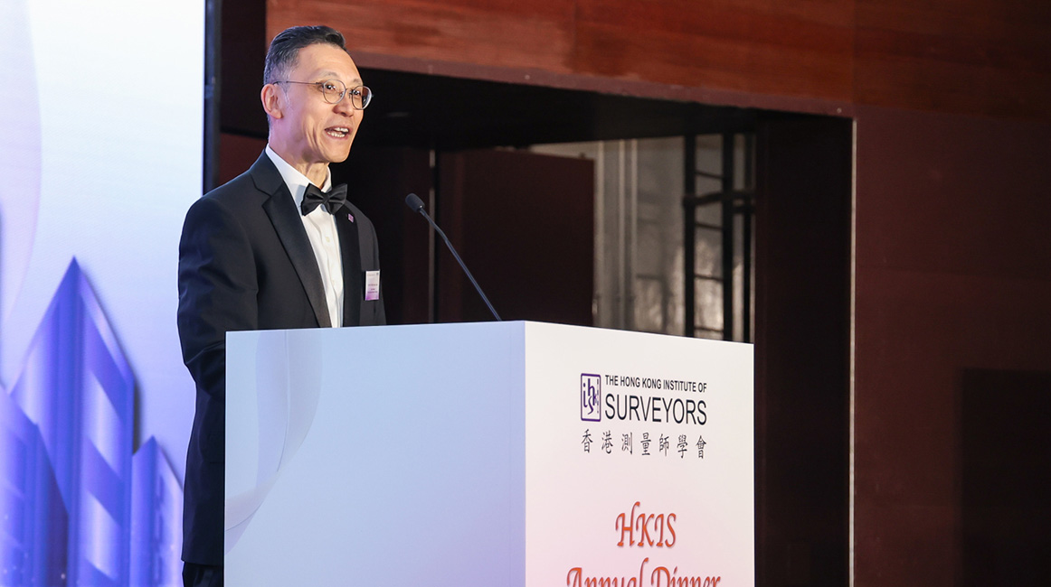
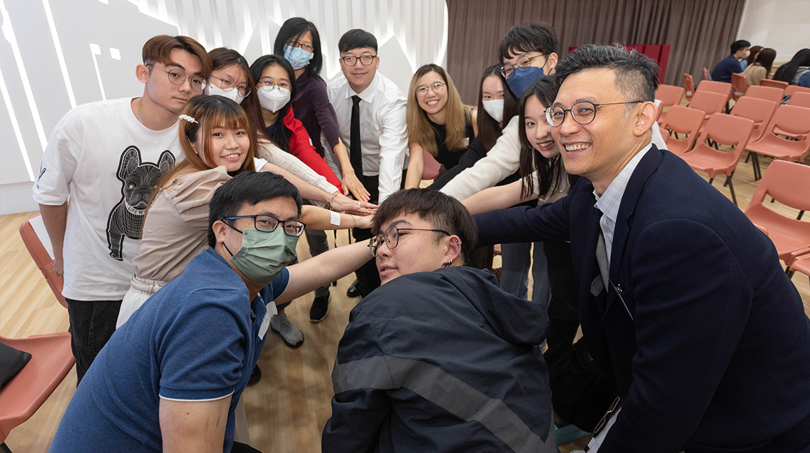
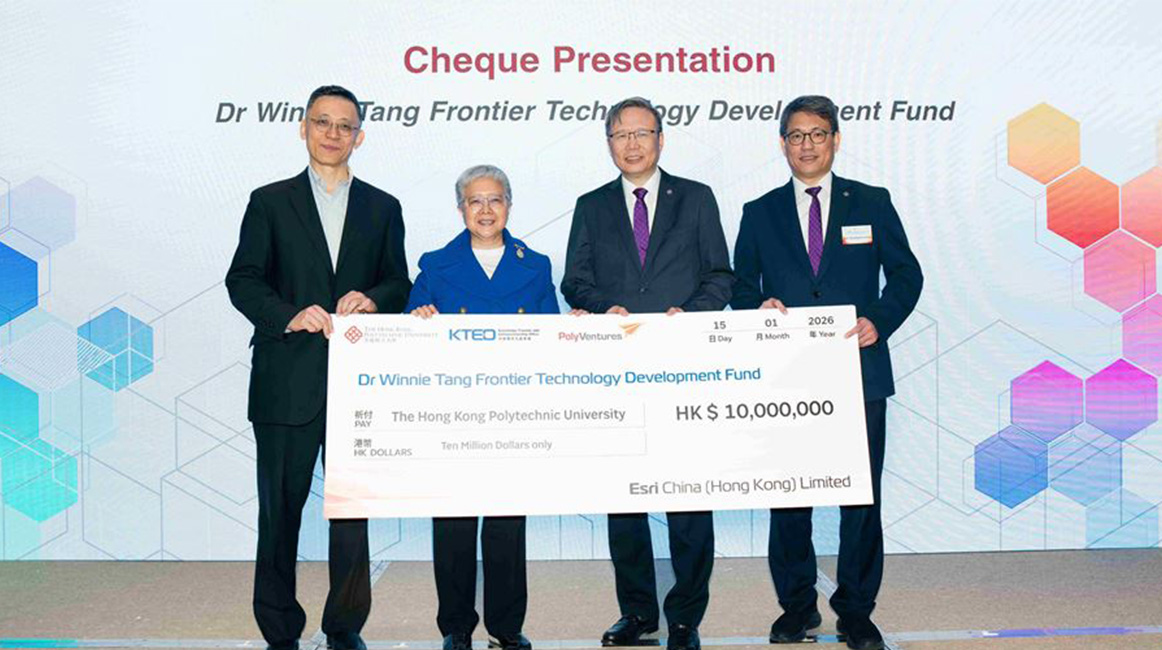
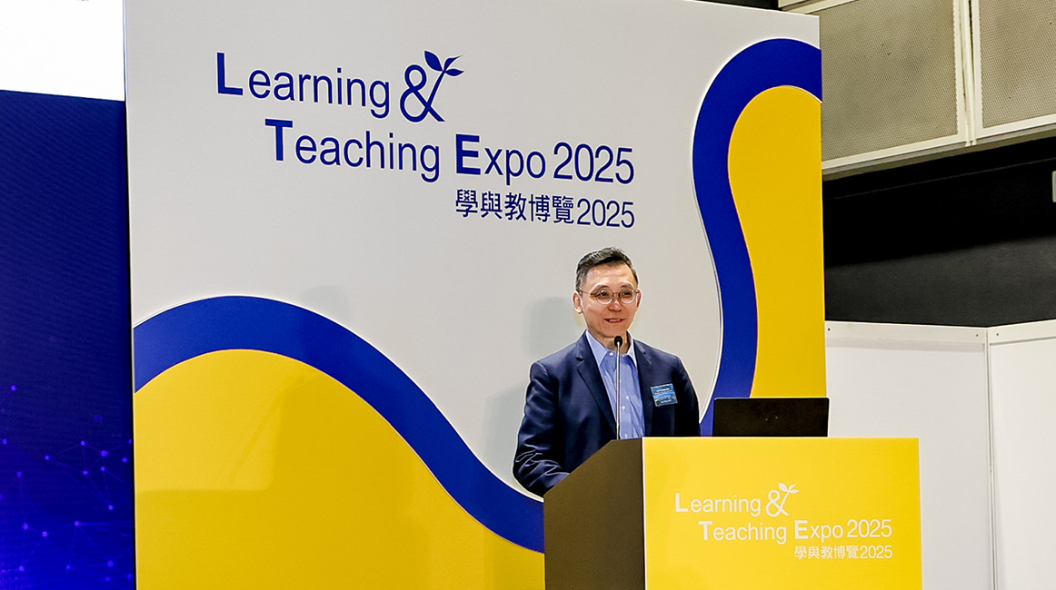
While nurturing the seeds of family, the alma mater also laid a strong foundation for Paul’s career. A graduate of PolyU’s Higher Diploma in Land Surveying and Master of Philosophy programmes, Paul is now CEO of Esri China (Hong Kong) and Vice-President of The Hong Kong Institute of Surveyors, with more than three decades of experience in the fields of geographic information systems (GIS) and mapping software. Reflecting on his post-graduation experience at Ordnance Survey, where he led a GIS development team to rebuild the UK’s topographic database, Paul said, “The training at PolyU was multidimensional. We gained knowledge and technical skills, while also developing problem-solving, management, and presentation skills. Our professional capabilities grew through practice.”
PolyU’s spirit of pursuing innovation for the benefit of society has long been central to Paul’s work. During the COVID-19 pandemic, many people worried about whether they were living in a COVID-affected building, or how many confirmed cases were near their workplaces or their children’s schools. In response, Paul led his team, in a voluntary capacity, to work with government departments on an interactive epidemic map dashboard. This enabled the public to access location-based pandemic information at their fingertips and to remotely view case distributions across districts. “GIS is a technology for processing spatial data. Our software can analyse large volumes of data in a short time, which also proved useful as early as the 2003 SARS outbreak and the 2018 Thai Cave Rescue,” he explained. More recently, as firefighting innovation technology has gained attention, Paul, who serves as Vice Chairman of the Smart City Consortium Green Committee, has proposed using the Common Spatial Data Infrastructure (CSDI) to develop visualised 3D map models and databases. These tools would support in-depth investigation and review of fire incidents, as well as establish long-term platforms for tracking and evaluating effectiveness. Giving back to society with what one draws from it – that, indeed, is the meaning of his work.
Returning to PolyU as his “home”, Paul keeps giving back with dedication. Over the years, he has served as a member of the LSGI Departmental Advisory Committee, President of The Land Surveying and Geo-Informatics Alumni Association of The Hong Kong Polytechnic University, and a Director of the Federation of PolyU Alumni Associations, reflecting his enduring support for his alma mater. Each contribution is a defining stroke, charting a map refined by years of commitment. Always setting out from a place of belonging, this alumni surveyor will continue to take warmth and strength as his coordinates, guiding hearts across generations towards a common horizon.
PolyU is where my ‘home’ began.
Publishing Date: February 2026
