PolyU and Lands Department Join Forces to Advance Geospatial Social Innovation for Smart and Inclusive Urban Development

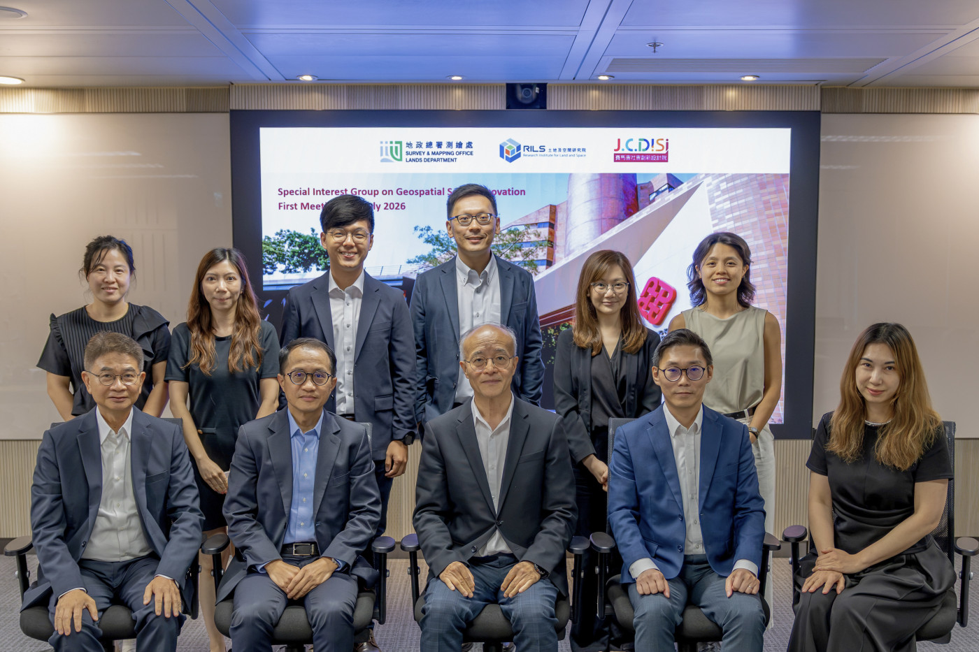
The Research Institute for Land and Space (RILS) of PolyU, the Survey and Mapping Office (SMO) of the Lands Department, HKSAR Government, and The Jockey Club Design Institute for Social Innovation (J.C.DISI) of PolyU have officially established the Special Interest Group on Geospatial Social Innovation (SIG-GSI), marking a new milestone in promoting the application of geospatial technologies and social innovation for the public and community benefit.
The formation of the SIG-GSI builds upon the memorandum of understanding (MoU) established between PolyU and the Lands Department in September 2025 to advance smart surveying, mapping and geospatial services that incorporate authoritative standards.
As the first major initiative under this collaboration framework, the Group brings together RILS, SMO and J.C.DISI, with J.C.DISI joining as a new collaborating unit.
The convenors of the SIG-GSI are Prof. DING Xiaoli, Director of RILS; Mr CHOI Wai Man Raymond, Chief Land Surveyor/Land Information Centre, Mr SO Man Cheong Kenneth, Chief Survey Manager/Special Duties of SMO; and Ms Sam LAM, Interim Director of J.C.DISI. The Group held its inaugural meeting on 9 July 2026 at PolyU.
The SIG-GSI provides a platform for academia, government and social innovation practitioners to collaborate in leveraging spatial data and geospatial technologies to address urban and community challenges. Through research exchange, capacity building, pilot projects and professional activities, the Group aims to advance applications of spatial data and geospatial technologies in areas such as community development, social inclusion, walkability and smart city development, while promoting innovative solutions that contribute to the public and social good.