Prof. WENG Qihao, Associate Director of the Research Institute for Land and Space (RILS), Chair Professor of Geomatics and Artificial Intelligence and Global STEM Scholar in the Department of Land Surveying and Geo-Informatics, together with his research team has recently published an article titled “Urban visual-spatial intelligence: linking human and sensor perception for sustainable urban development” in npj Urban Sustainability.
The article points out that UVSI integrates human perception with advanced sensor technologies, moving beyond traditional smart city models that prioritise technology alone. By combining data from sources such as satellite imagery, IoT sensors, mobile devices, and social media, UVSI provides a real-time, multi-dimensional understanding of urban environments.
A central feature of UVSI is its collaborative framework, ensuring continuous feedback between residents, technology, and urban spaces. This adaptive approach supports dynamic urban management and aligns with the United Nations Sustainable Development Goals, particularly SDG 11 for sustainable cities. UVSI informs policy-making, infrastructure planning, disaster monitoring, and climate action, while upholding privacy and public trust.
Nonetheless, challenges persist, especially the integration of diverse types of data across geographical contexts and addressing associated biases. The research team believes that future research will focus on open-source models, digital twins, and ethical, AI-driven urban planning.
As cities expand, UVSI’s holistic method promises more resilient, inclusive, and liveable urban environments by bridging technology and human experience, ensuring urban development remains responsive to the needs of all communities.
Read the full paper: https://www.nature.com/articles/s42949-025-00256-2
| Research Units | Research Institute for Land and Space |
|---|
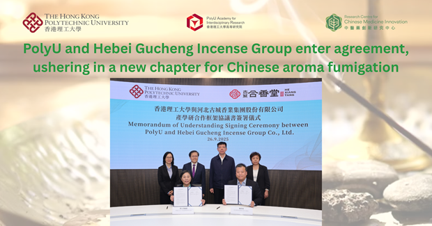
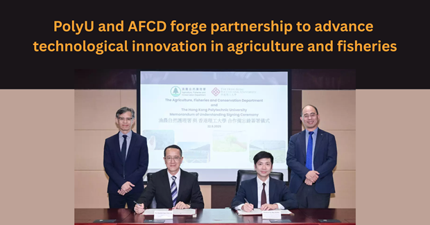
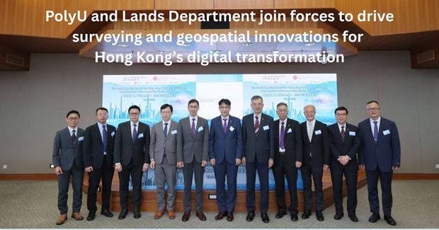
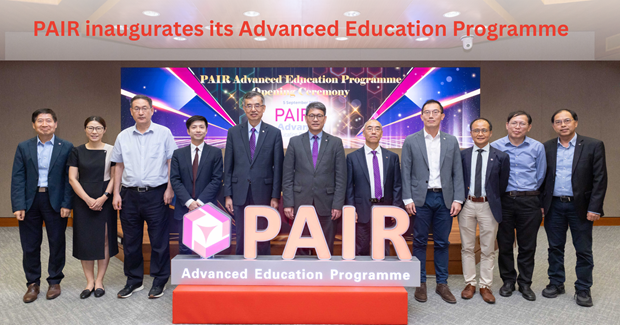
You may also like