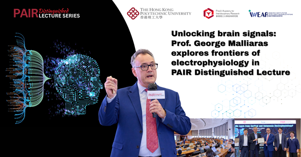
Geospatial data finds applications in a wide array of fields, including urban planning, environmental management, disaster response, and transportation, leveraging spatial patterns to support decision-making in various sectors. Nevertheless, errors, imprecision, and complexities in datasets containing information about space and/or time can undermine the quality and reliability of spatial data and analyses. This issue of uncertainty in geospatial science (GIS) is expected to intensify as AI-driven geospatial applications become increasingly widespread, according to Prof. Michael GOODCHILD, Distinguished Professor Emeritus in the Department of Geography, University of California, Santa Barbara, USA.
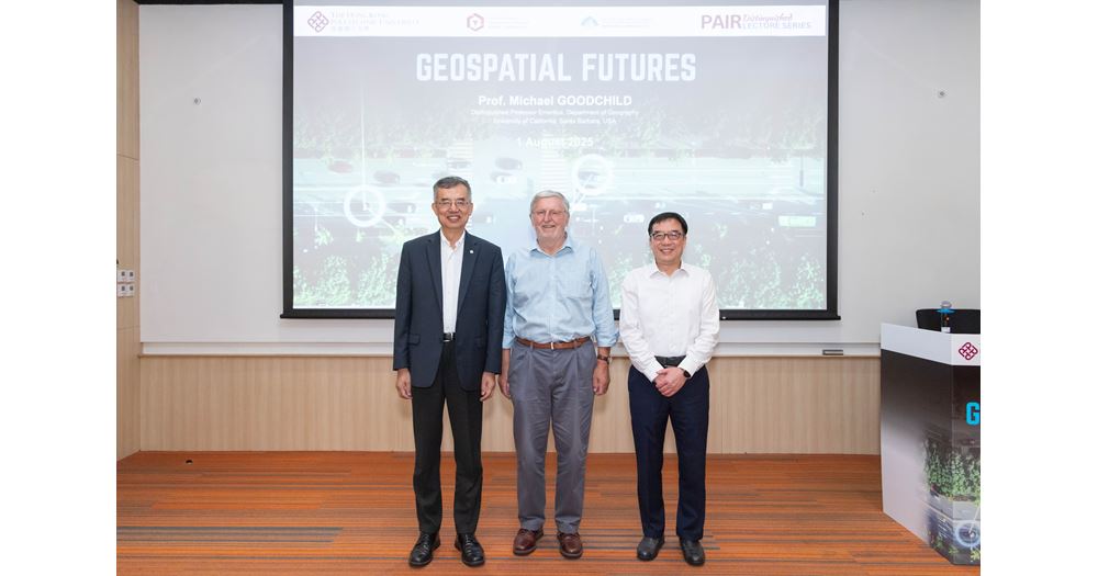
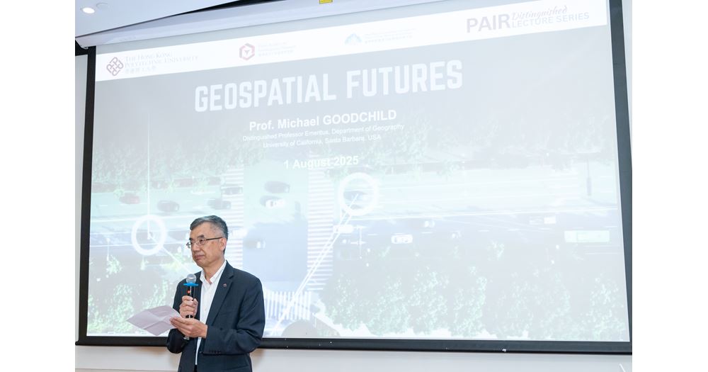
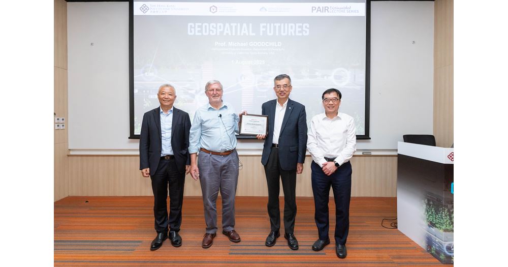
On 1 August 2025 (Friday), Prof. Goodchild gave the 42nd PAIR Distinguished Lecture on the topic of “Geospatial Futures”. Joined by 76 in-person participants and an online audience of 15,310, the Lecture reviewed the key developments and legacy practices in the evolution of GIS, revealing the forthcoming directions and future prospects in the field. In the Lecture, Prof. Goodchild briefly introduced the history of GIS, discussing how innovations in areas including measurements, naming conventions, computing, global positioning system (GPS) and locating-measuring technologies have combined to propel the development of GIS.
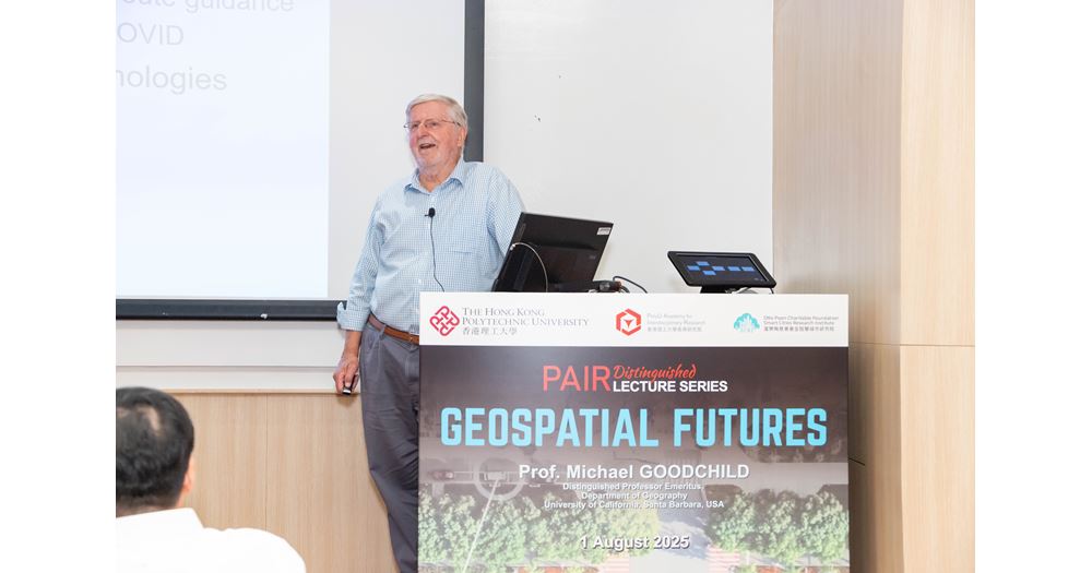
According to Prof. Goodchild, the explosion of data and diffusion of advanced technologies, including machine learning, generative AI and digital twins in the modern era, would present multiple new technical problems to GIScience, including geographic bias, transparency of machine learning, environmental cost, and uncertainty in predictions, challenging the fitness-for-use of geographic systems built. In the Lecture, he emphasised a new direction for GIS: the achievement of more powerful and cheaper computation for finer-resolution data, better models, machine learning and 3D photorealism. In illustrating the importance of computational breakthroughs for GIS, he shared several compelling examples of digital twin models that give virtual representations of physical landscapes such as volcanoes, coastal regions and urban environments. In closing his presentation, Prof. Goodchild drew attention to the ethics of GIS, remarking that “while software developers are maximising the use of general-purpose GIS packages, the public should exercise responsibility in using the software appropriately and repurposing it.”
Prof. Goodchild is a Senior Fellow at PAIR, and Chairman of the International Advisory Committee of the Otto Poon Charitable Foundation Smart Cities Research Institute (SCRI).
Please click here for an online review.
| Topics | PAIR Distinguished Lecture Series |
|---|---|
| Research Units | PolyU Academy for Interdisciplinary Research |
You may also like