The Hong Kong Polytechnic University (PolyU) and Hexagon Leica Geosystems (Qingdao) Co., Ltd. (Hexagon), a global leader in digital reality and industrial 4.0 solutions, have established strategic framework partnership to join forces in advancing cutting-edge technology and innovation.
The partnership aims to foster R&D in surveying, geographic information mapping technology and equipment, as well as positioning and navigation systems. The two parties will explore the establishment of a joint lab focusing on research topics such as precise positioning, the use of AI and machine learning in surveying and other forwarding-looking technology issues. Furthermore, talent cultivation, technology transfer and commercialisation are also key collaboration area.
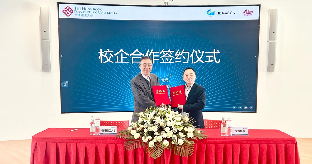
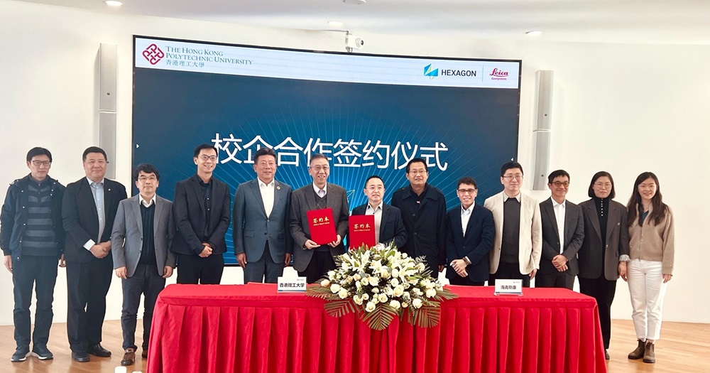
Witnessed by Mr. Hongquan Li, President (Greater China Region) of Hexagon and other distinguished guests, the framework MoU was signed by Prof Chen Wu, Head of Department of Land Surveying and Geo-Informatics at PolyU and Mr. Deyong Wang, Chief Financial Officer (China Region) of Hexagon and Executive Director of Hexagon Leica Geosystems.
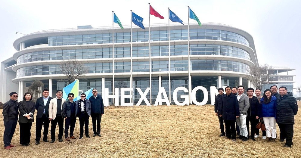
In addition to the signing ceremony, there were multidisciplinary technology forums and a tour of Qingdao Hexagon Smart Park. Experts and scholars from PolyU, Hexagon, and the Guangzhou Urban Planning and Design Survey Research Institute engaged in profound and enthusiastic discussions on future innovation trends.
By leveraging Hexagon’s unique expertise in sensors, software and autonomous technologies, combined with PolyU’s outstanding research capabilities , the partnership aims to generate new disruptive productive forces empowered by digitalisation, data and technology innovation. PolyU has been working closely with industry partners to develop state-of-art technologies that benefit the society.
Hexagon Leica Geosystems (Qingdao) Co., Ltd., part of the Hexagon Group, is an innovator in global spatial information technology and solutions. The company not only provides high-precision and efficient data collection equipment for smart cities, but also provides complete real-time situational awareness geospatial solutions.