
To be a global research hub in Geospatial AI and applications.
Our Focus Areas
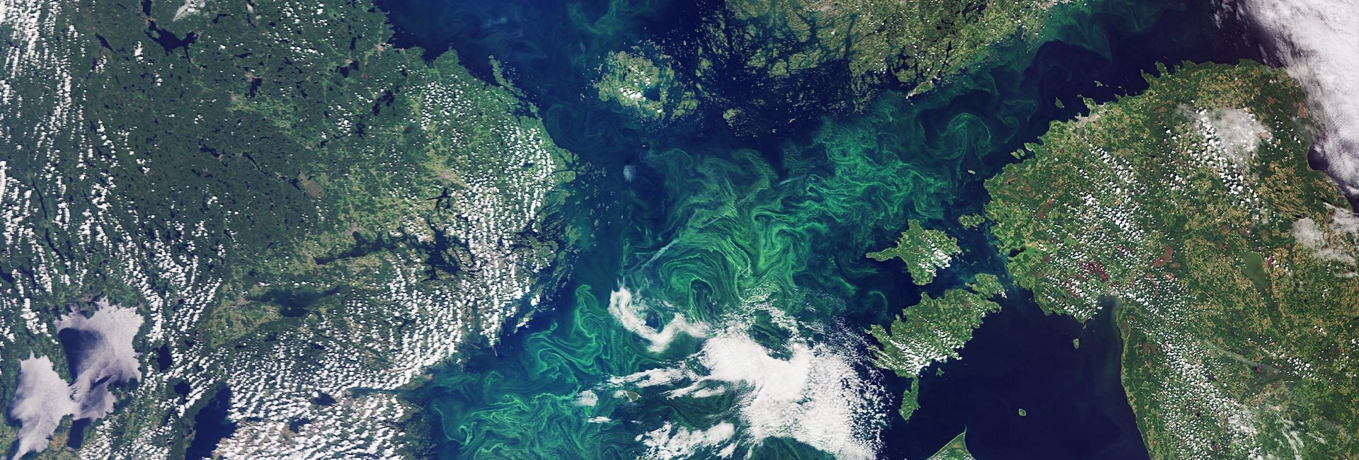
Remote Sensing
The process of detecting and monitoring the physical characteristics of an area by measuring its reflected and emitted radiation at a distance.
Photogrammetry
The science and technology of obtaining reliable information about physical objects and the environment through photographic images.
Laser Scanning
A technology which uses laser beams to measure and capture environments in three dimensions with speed and accuracy.
Geoinformatics
The science and technology which uses information science to address the problems of geosciences and related branches.
Navigation and Positioning
The ability to determine current and desired position and apply corrections to attain a desired position anywhere around the world.
Surveying and Geodesy
The representations of large portions of the Earth’s surface and smaller portions where the effect of the Earth’s curvature can be ignored.
Ground-Based Sensors
The utilization of a variety of geophysical survey techniques to “see” beneath the surface of the soil, providing a map of the underlying features.
Geospatial AI
The combination of innovations in spatial science, high-performance computing, and AI methods to extract knowledge from spatial big data.
Geospatial Big Data
Spatial data sets exceed the capacity of traditional computing systems. They have always been big data, and their size is growing rapidly.
Geospatial CV
An interdisciplinary field of AI that trains computer to interpret geospatial photographies and videos.
A Comprehensive Overview of Our Current Research Projects
This project proposes to establish a Global Climate Resilience Geospatial Artificial Intelligence Centre dedicated to advancing scientific innovation, ethical technological development, and trustworthy real-world applications to address the urgent challenges of climate change.
Approved Funding: A 90% subsidy (the highest category of subsidy, equivalent to a cash value of HK$5,184,000)
The project aims to develop a vehicle type detection system based on satellite and CCTV images. It will address existing AI limitations, such as limited generalisation capability and complex background interference. The project will deliver precise vehicle data analytics to facilitate traffic management in Hong Kong.
Approved Funding: HK$3,230,831.85
This project aims to quantify how urban vegetation, specifically satellite-derived vegetation greenness (Enhanced Vegetation Index, EVI), regulates Land Surface Temperature (LST) across different time scales and climate conditions.
Approved Funding: HK$800,000.00
As climate change intensifies, suburban communities of Hong Kong and other rural Asian population will face increasing risks from extreme heat events, necessitating proactive measures to enhance resilience.
Approved Funding: HK$8,000,000.00
This project aims to provide a Geospatial Artificial Intelligence (GeoAI) and big data based solution to the development of key smart city technologies for Hong Kong and the world.
Approved Funding: HK$820,000.00
This proposed project aims to develop algorithms to fuse Landsat, MODIS, and Himawari image data to develop two LST datasets for urban applications.
Approved Funding: HK$1,095,918.00
Understanding the urban heat island (UHI) phenomenon and its impact on vegetation phenology require long-term consistent observation and measurement of ambient temperatures and phenological metrics. This research develops a holistic methodology to derive these variables from time series Landsat datasets and to analyze their dynamic relationship for 30 global mega-cities from 1989 to 2019.
Approved funding: HK$1,000,000.00
This project will develop an integrated framework for urban flood monitoring, prediction, risk assessment, and future risk projection by fusing various technologies, including geospatial AI, remote sensing, and climate and socioeconomic projection models, and by focusing on Hong Kong and the GBA.
Approved funding: HK$1,600,000.00
Rapid urbanization worldwide and global climate change have led to serious concerns regarding the relationship between urban climates and surrounding ecosystems.
Approved Funding: HK$877,079.00
Accurate and timely road mapping that describes the road network geometry and topology is the key element of intelligent transport systems and smart city management. Intelligent road inspection that obtains sensing information about the size and shape of road damage is essential for safe driving and sustainable transport development.
Approved funding: HK$1,288,513.00
Please put at least one valid content allocate to this component.