
Page 39 - Demo
P. 39
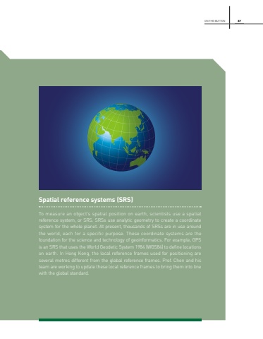
37Spatial reference systems (SRS)To measure an object%u2019s spatial position on earth, scientists use a spatial reference system, or SRS. SRSs use analytic geometry to create a coordinate system for the whole planet. At present, thousands of SRSs are in use around the world, each for a specific purpose. These coordinate systems are the foundation for the science and technology of geoinformatics. For example, GPS is an SRS that uses the World Geodetic System 1984 (WGS84) to define locations on earth. In Hong Kong, the local reference frames used for positioning are several metres different from the global reference frames. Prof. Chen and his team are working to update these local reference frames to bring them into line with the global standard.ON THE BUTTON
