
Page 33 - Demo
P. 33
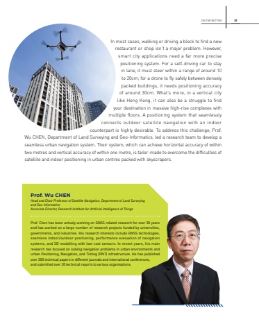
ON THE BUTTON 31In most cases, walking or driving a block to find a new restaurant or shop isn%u2019t a major problem. However, smart city applications need a far more precise positioning system. For a self-driving car to stay in lane, it must steer within a range of around 10 to 20cm; for a drone to fly safely between densely packed buildings, it needs positioning accuracy of around 30cm. What%u2019s more, in a vertical city like Hong Kong, it can also be a struggle to find your destination in massive high-rise complexes with multiple floors. A positioning system that seamlessly connects outdoor satellite navigation with an indoor counterpart is highly desirable. To address this challenge, Prof. Wu CHEN, Department of Land Surveying and Geo-Informatics, led a research team to develop a seamless urban navigation system. Their system, which can achieve horizontal accuracy of within two metres and vertical accuracy of within one metre, is tailor-made to overcome the difficulties of satellite and indoor positioning in urban centres packed with skyscrapers.Prof. Wu CHENHead and Chair Professor of Satellite Navigation, Department of Land Surveying and Geo-InformaticsAssociate Director, Research Institute for Artificial Intelligence of ThingsProf. Chen has been actively working on GNSS related research for over 30 years and has worked on a large number of research projects funded by universities, governments, and industries. His research interests include GNSS technologies, seamless indoor/outdoor positioning, performance evaluation of navigation systems, and 3D modelling with low-cost sensors. In recent years, his main research has focused on solving navigation problems in urban environments and urban Positioning, Navigation, and Timing (PNT) infrastructure. He has published over 300 technical papers in different journals and international conferences, and submitted over 30 technical reports to various organisations.
