
Page 34 - Demo
P. 34
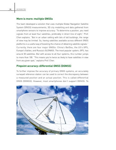
32More is more: multiple GNSSsThe team developed a solution that uses multiple Global Navigation Satellite System (GNSS) measurements, 3D city modelling and data gathered from smartphone sensors to improve accuracy. %u201cTo determine a position, you need signals from at least four satellites, preferably in direct line of sight,%u201d Prof. Chen explains. %u201cBut in an urban setting with lots of tall buildings, the range of view may be limited. So, having satellites available across different GNSS platforms is a useful way of boosting the chance of obtaining satellite signals.%u201d Currently, there are four major GNSSs: China%u2019s BeiDou, the US%u2019s GPS, Europe%u2019s Galileo, and Russia%u2019s GLONASS. The most popular system, GPS, has around 30 satellites. But with access to all four systems, this number jumps to more than 100. %u201cThis means you're twice as likely to have satellites in view from any given spot,%u201d explains Prof. Chen.Pinpoint accuracy: differential GNSS (DGNSS)To further improve the accuracy of primary GNSS systems, an accurately surveyed reference station can be used to correct the discrepancy between a measured position and an actual position. This is called differential GNSS (DGNSS). However, most smartphones don%u2019t support DGNSS. To ON THE BUTTON
