Seamless Urban Navigation System
An accurate and reliable positioning solution with real-time response
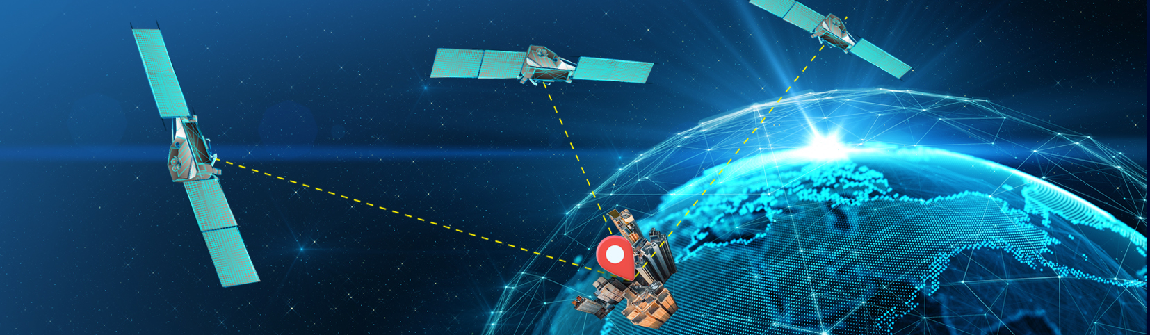
What images does the term “smart city” conjure up? Self-driving vehicles? Drones for monitoring traffic and construction sites? Yes, they certainly are indispensable components of a smart city. However, before they are made possible, there is one issue that needs to be tackled first – a high-precision and reliable positioning and navigation system. Most of us are familiar with Global Positioning System (GPS) that guides us to our destination. But in densely built-up areas like Central or Mongkok in Hong Kong, the accuracy of GPS may drop to more than a hundred metres because satellite signals are blocked or bounced off the walls of tall buildings, taking you to a whole block away from your destination.
Of course, it’s not the end of the world for a pedestrian to walk a block or so further. But many smart city applications need a positioning system a lot more precise than that – for a self-driving car to stay on its lane, it must run within a range of say, 10 to 20 cm; for a drone to fly between densely packed buildings safely, it needs positioning accuracy say, around 30 cm. That’s why Prof. Wu Chen of the Department of Land Surveying and Geo-Informatics led a research team to develop a seamless urban navigation system, tailor-made to overcome the difficulties of satellite positioning in urban centres packed with skyscrapers. The accuracy can be within 10 m with smartphones and up to 10 cm when specialised receivers are used. A powerful cloud server ensures positioning is updated in real time, supporting various smart city functions.
More is more: multiple GNSSs
The solution developed by the team uses multiple Global Navigation Satellite System (GNSS) measurements, 3D city modelling and various data gathered from smartphone sensors to enhance accuracy. “To determine a position, we need signals from at least four satellites, preferably in direct lines of sight,” said Prof. Chen. “But in an urban setting where tall buildings abound, your range of view could be limited. Thus, the availability of satellites across different GNSS platforms is useful in boosting the chance of getting satellite signals.”
There are currently four major GNSSs, namely China’s BeiDou, GPS of the US, Europe’s Galileo, and Russia’s GLONASS. The most popular system, GPS, has around 30 satellites. But when you have access to all four systems, the number jumps to more than 100. That means your chance of having line-of-sight satellites from your location would be two times higher. That partly explains why Prof. Chen’s seamless urban navigation system could achieve such high accuracy.
Uniquely urban: multipath problem
On the other hand, tall buildings in city centre give rise to the multipath problem. “Multipath happens when not all signals received are travelling directly from satellites. Signals that are reflected or diffracted by a local structure travel a longer path. That would lead to wrong measurements and inaccuracy,” explained Prof. Chen. “And the problem is how to tell the direct signals from the bounced signals.” In this regard, the team cross-referenced satellite positions with 3D city models that record the shape and height of each building in the city in order to find out which satellites one can see directly from a location, and which ones are reflected or diffracted. The measurements of distance can be corrected for higher accuracy.
Street smart: multiple smartphone sensors
Finally, we can all contribute to the accuracy of the seamless urban navigation system with our smartphones, which are essentially tiny computers in our pocket. “Smartphones now come with many useful built-in sensors, such as gyroscope, accelerometer, magnetometer and inertia measurement unit. Even the step counter in your phone is useful in supplementing other navigation methods for estimating position,” said Prof. Chen. When there are many smartphones in an area and each of them collects data continuously, the bulk volume of walking speed, direction and position information would enhance the accuracy of the navigation system in major ways.
In June 2018, the seamless urban navigation system using multiple sensors and multipath mitigation won a Hong Kong Smart City Award in the smart mobility category.


