

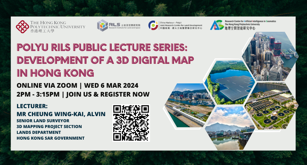
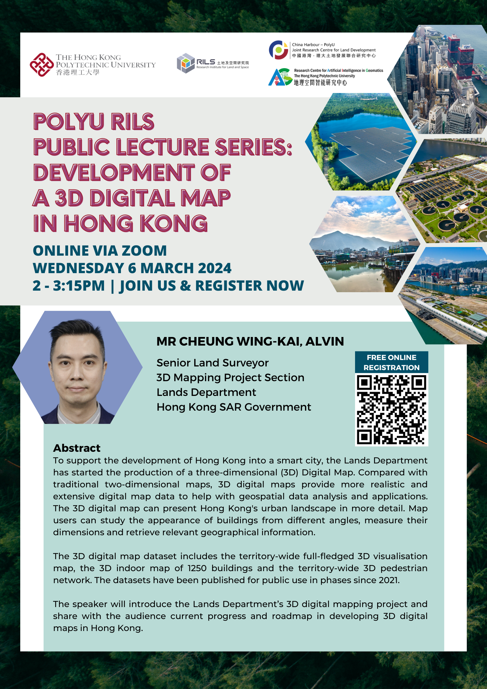
RILS Public Lecture Series: Development of a 3D Digital Map in Hong Kong
Conference / Lecture
-
Date
06 Mar 2024
-
Organiser
Research Institute for Land and Space (RILS); China Harbour – PolyU Joint Research Centre for Land Development; Research Centre for Artificial Intelligence in Geomatics
-
Time
14:00 - 15:15
-
Venue
Online
Summary
Biography
Mr Cheung Wing-kai, Alvin is currently the Senior Land Surveyor of the 3D Mapping Project Section in Lands Department. He is a Chartered Land Surveyor and has over 20 years of geomatics professional experience in supervision of projects in both private and government sectors. He is now leading a team to produce the territory-wide 3D Digital Map in Hong Kong.
Presentation Title
Development of a 3D Digital Map in Hong Kong
Abstract
To support the development of Hong Kong into a smart city, the Lands Department has started the production of a three-dimensional (3D) Digital Map. Compared with traditional two-dimensional maps, 3D digital maps provide more realistic and extensive digital map data to help with geospatial data analysis and applications. The 3D digital map can present Hong Kong's urban landscape in more detail. Map users can study the appearance of buildings from different angles, measure their dimensions and retrieve relevant geographical information.
The 3D digital map dataset includes the territory-wide full-fledged 3D visualisation map, the 3D indoor map of 1250 buildings and the territory-wide 3D pedestrian network. The datasets have been published for public use in phases since 2021.
The speaker will introduce the Lands Department’s 3D digital mapping project and share with the audience current progress and roadmap in developing 3D digital maps in Hong Kong.
Full Programme Rundown
Please click here.
You may also like


