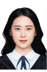
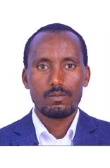
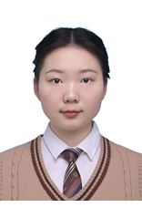
MPhil and PhD Students


PhD
- Remote Sensing, Agriculture, GIS

PhD
- Vegetation Remote Sensing, Carbon Sequestration , GIS

PhD
- Vegetation phenology, Deep Learning, Remote Sensing
- Point Cloud AI Processing
- implicit 3D reconstruction, photogrammetry
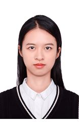
PhD
- Human Mobility
- Extreme events and water resources
- Urban sustainability based on GIS and AI technology

PhD
- GNSS
- Human and Evironment Interaction
- GNSS & Indoor Location
- Urban Environment Monitoring
- Aerosol remote sensing, Machine learning

PhD
- Dynamics of Hydroclimatic Extremes
- Human Mobility, GeoAI
- Dynamics of Hydroclimatic Extremes
- InSAR, Geohazard Mechanics
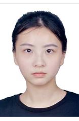
PhD
- Shared mobility

PhD
- Remote sensing

PhD
- Planetary Remote Sensing and Mapping

PhD
- Remote Sensing

PhD
- Planetary Mapping
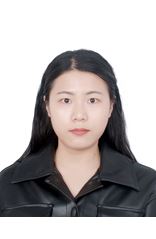
PhD
- Urban Climate, Land Use/Land Cover, Urban heat island
- GeoAI, spatiotemporal data mining, human mobility modeling
- Atmospheric Rivers

PhD
- Mobile Mapping System, Computational Imaging Using Deep Learning

PhD
- Urban remote sensing, computer vision
- Urban informatics, urban mobility and Geo-spatial analysis
- Gravity; Remote Sensing; Coastal Study
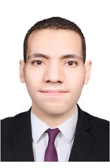
PhD
- Mapping and Navigation
- Urban Informatics, Urban Analytics, GIS & Remote Sensing

PhD
- GIScience, Urban Informatics, Urban Sustainability

PhD
- lidar detection
- Vegetation phenology
- Urban development and human activities

PhD
- Remote Sensing

PhD
- Smart Cities Platform, GIScience
- Remote Sensing, GIS, Photogrammetry
- Climate impacts

PhD
- Climate Change, Global Environmental Management, Coastal Ecology, Machine Learning, GeoAI, Geospatial, GEE, GIS & Remote Sensing
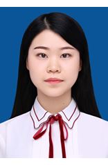
PhD
- Remote Sensing

PhD
- Urban Informatics, Machine Learning
- Human Mobility and Smart City
- Remote Sensing

PhD
- Hydro-informatics and Hydroclimate
- Electric Vehicle, Sustainability of Public Transport, Agent-Based Modelling
- GNSS

PhD
- Electric Vehicle, Spatial Big Data Analysis and Simulation

PhD
- Remote Sensing, Terrestrial Ecosystem, Vegetation Phenology

PhD
- GNSS
- Remote Sensing and GIS applications in Settlement Mapping and Assessment
- Urban green spaces, deformation, remote sensing

PhD
- GNSS PPP
- Ice sheet mass balance

PhD
- Urban Structure, Complex System

PhD
- Mangrove Remote Sensing, Photogrammetric Computer Vision

PhD
- Hydrological modeling, Machine learning
- Hydrological Modeling

PhD
- Remote Sensing Object Extraction
- Planetary Remote Sensing
- InSAR, Ecohydrology

PhD
- Point Cloud Processing, Scene Understanding, Augmented Reality, Surgical Navigation
- computer vision, remote sensing

PhD
- Remote sensing data reconstruction
- Smart mobility, big data analytics and simulation methodology
- LiDAR, Big-data, Forest Reconstruction
- Deep learning in hydrological fields

PhD
- Machine Learning, Geo-Informatics and Big Data Analytics


