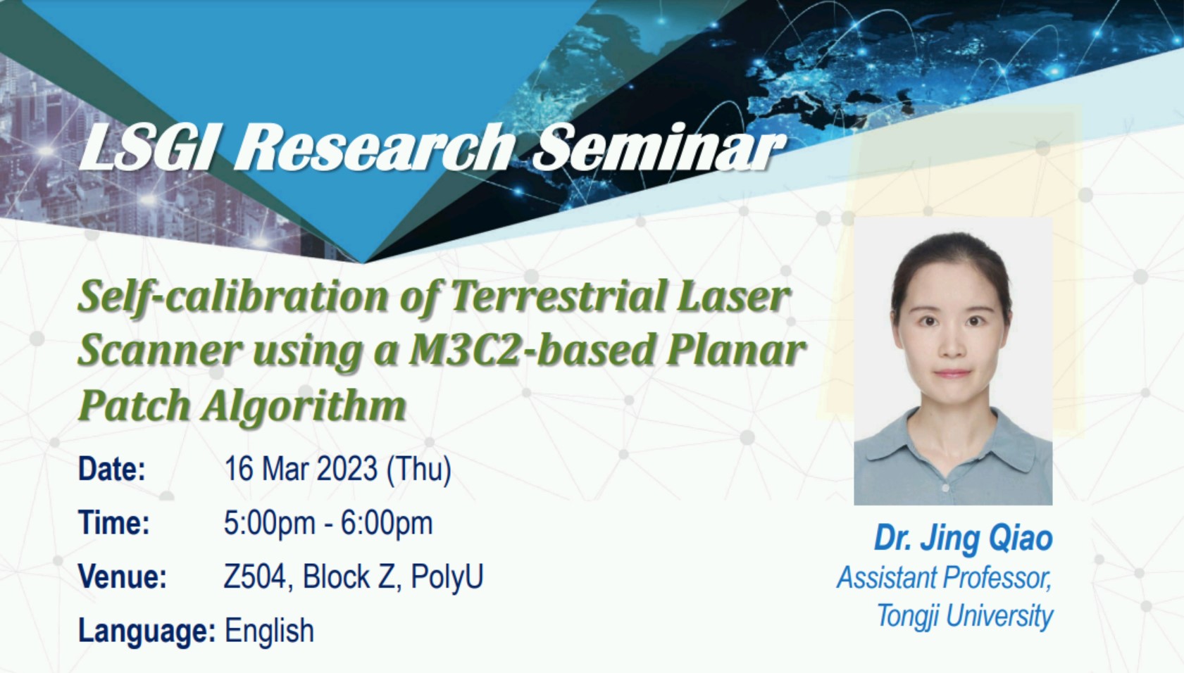
Research Seminar: Self-calibration of Terrestrial Laser Scanner using a M3C2-based Planar Patch Algorithm

-
Date
16 Mar 2023
-
Organiser
Department of Land Surveying and Geo-Informatics (LSGI)
-
Time
17:00 - 18:00
-
Venue
Z504 Map
Speaker
Dr. Jing Qiao
Enquiry
Ms Anna Choi 3400 8158 anna.choi@polyu.edu.hk
Remarks
Deadline for registration: 10:00am, 16 Mar 2023
Summary
Target- or intensity-feature-based calibration has been extensively explored for in-situ calibration of terrestrial laser scanners (TLSs). The main drawbacks of those calibration approaches include the necessity of mounting physical targets in the scan area and the need for the presence of rich geometrical features allowing a feature-based distinction of different points in the point cloud. We propose an autonomous TLS calibration algorithm using planar patches that are ubiquitous in urban environments and can be found without manual preparation beforehand. The scanner calibration parameters are estimated and updated by minimizing the M3C2 normal distances between corresponding planar patches. Unlike target-or keypointbased approaches, only medium-resolution scan data is needed. A comprehensive set of calibration model parameters are estimated using scans acquired from multiple positions, thereby providing a further advantage over current keypoint-based approaches that estimate only two-face sensitive parameters. To increase speed and reduce memory consumption, we propose to execute the calibration using only parts of scan data from a single station. Studies with two high-precision scanners, Leica RTC360 and Z+F Imager 5016, show results consistent with the laborious target-based approach with improved precision. Similar two-face sensitive calibration performance to the target- and keypoint-based approaches has been achieved, but with only subsets of the point cloud using the proposed algorithm.
Keynote Speaker
Dr. Jing Qiao
Assistant Professor
Tongji University
Dr. Jing Qiao is an assistant professor at the college of surveying and geo-informatics, Tongji University. She was a Postdoc at ETH Zurich in the group of Geosensors and Engineering Geodesy before taking up her current position. She received her Ph.D. degree in Geodesy from LSGI, the Hong Kong Polytechnic University in 2018 and her Bachelor's degree from Wuhan University in 2013. Her research interests include precise orbit determination (including AutoNav, satellite maneuver), PNT, and self-calibration of terrestrial laser scanners.


