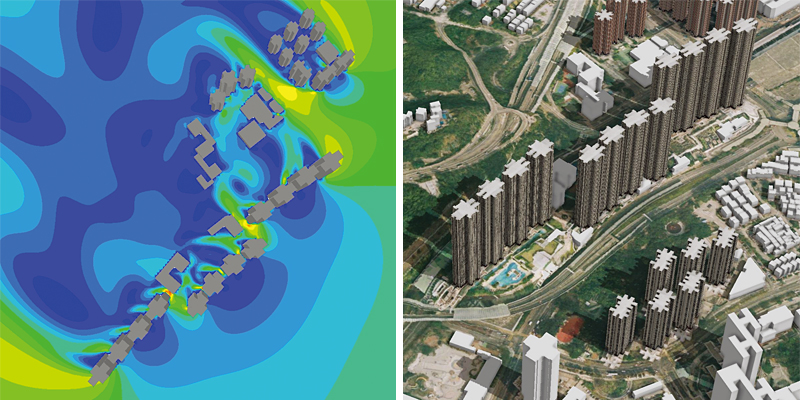
The technology is useful for analysing ventilation, visability and sunlight distribution between buildings.
Integrating the advantages of multi-platform satellite/aerial imagery and laser scanning, PolyU’s novel 3D mapping model can greatly reduce the inconsistencies and improve the accuracy of mapping products.
Many owners-to-be face a dilemma when considering an apartment off plan: although it is usually less expensive to buy that way, they have little idea of what the view will be like. Regardless of how imaginative they are, they still have to allow for some disappointment – a nice building may seem unsightly from up high. Yet a PolyU invention offers a solution.
Dr. Wu Bo
The two most commonly used 3D mapping techniques are photogrammetry using satellite or aerial imagery, and laser scanning. The former offers greater accuracy in the horizontal direction and the latter in the vertical direction. However, they may produce errors at different levels and there are usually inconsistences between the mapping products derived from them.
To eliminate data errors and integrate the advantages of existing technologies, Prof. Wu Bo at the Department of Land Surveying and Geo-Informatics developed a “Novel Integrated 3D Mapping Model”. Integrating the advantages from multi-platform satellite/aerial imagery and laser scanning data, the technology can greatly improve the accuracy of mapping products by 26-66%, to the centimetre level.
The same model was applied to select the landing site for the Chang’e-3 lunar exploration mission of the China National Space Administration and will be used in the upcoming Chang’e-5 and Mars missions. In urban planning, this model can provide the shapes and dimensions of landscape features and the architecture of an area. Prof. Wu explained that “after mapping a place, we can create 3D models of the place and analyse how air current flows around structures, how sunlight hits a building, and even what can be seen from a certain position at a certain height”. With this information, prospective property buyers can make informed decisions and real estate developers may even simulate an apartment’s view, ventilation and sunlight before it is built.
The mapping products produced by this model cost more or less the same as those produced from satellite imagery. This new technology can be updated monthly and allows handling of massive data; thus catering for the needs of the big data era. It can be used in the topographic mapping and 3D modelling of cities for smart city development.
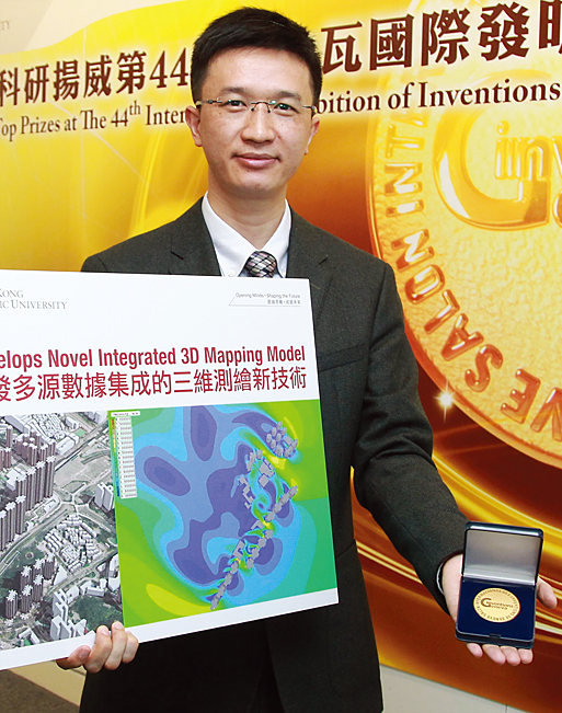
The invention won a Gold Medal and Special Merit Award from the Nizhny Novgorod State Technical University, Russia, at the 44th International Exhibition of Inventions of Geneva in Switzerland and 2016 Talbert Abrams Award presented by the American Society for Photogrammetry and Remote Sensing. ♦
