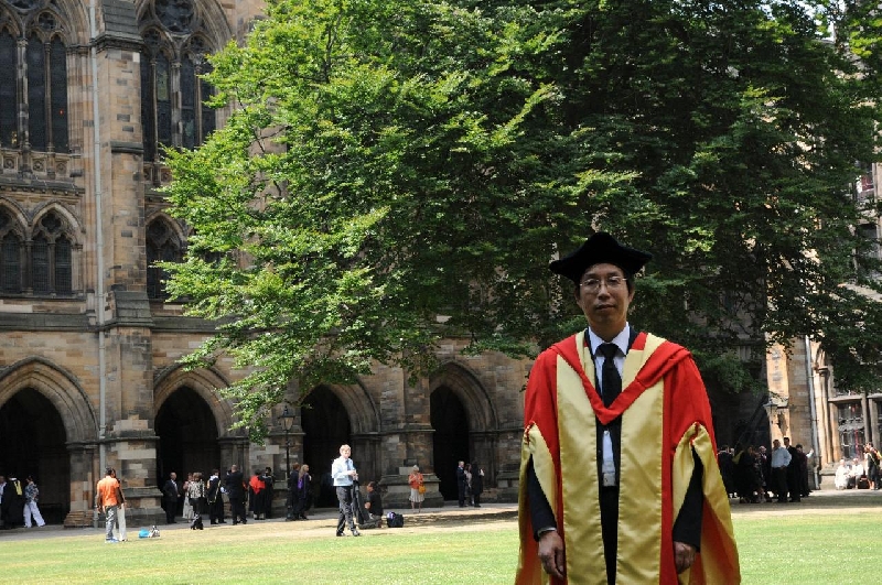
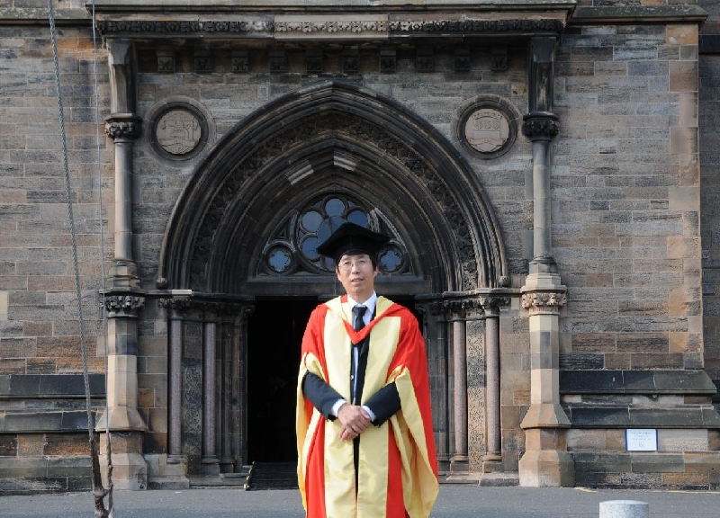
Prof. Li Zhilin of The Hong Kong Polytechnic University (PolyU)’s Department of Land Surveying and Geo-Informatics, a leading scientist studying digital mapping and geographical information processing, has recently been awarded the prestigious Doctor of Science (DSc) degree by his alma mater – the University of Glasgow in Scotland, UK, for his outstanding contribution to the area of multi-scale representation of spatial data.
In countries like the UK, one can earn the degree of Doctor of Philosophy (PhD) upon completing a PhD programme while the degree of Doctor of Science is conferred on a member of the university who has a proven record of internationally recognized scholarship. Prof. Li is therefore particularly delighted with receiving this honour after leading an illustrious academic career since he completed his PhD studies at Glasgow in 1990.
Prof. Li is an accomplished scholar in the study of the multi-representation of spatial data (which is also the cornerstone for map-making and spatial data modelling) and digital terrain modelling. His work is highly regarded internationally. His book “Digital Terrain Modelling: Principles and Methodology” is the first authored research monograph in the area and has been widely used as textbook at MSc level. His recent book “Algorithmic Foundation of Multi-scale Spatial Representation” has been regarded as “laying down an excellent mathematical/algorithmic foundation” for this sub-discipline of multi-scale representation.
Prof. Li has received numerous honours over the years. His roll of prestigious honours included the Gino Cassinis Award by the International Society for Photogrammetry and Remote Sensing (ISPRS) in 2008; the State Natural Science Award by the Central Government in 2005 and the Schwidefsky Medal from ISPRS in 2004. Other awards included the National Scientific Progress in Surveying & Mapping Award by the Chinese Society for Geodesy, Photogrammetry and Cartography in 2003, Outstanding Young Researcher Project (Type B) by the National Natural Science Foundation of China in 2003, Excellent Textbook (postgraduate) Award by the Ministry of Education in 2002. He also received the PolyU President’s Award for Outstanding Achievement twice (in 2000 and 2005)
An influential scholar in his own field, Prof. Li was elected Vice-President of International Cartographic Association and Honorary Vice President of Chinese Society of Geodesy, Photogrammetry and Cartography, both in 2007.
Prof. Li obtained his first degree from the Southwestern Jiaotong University (China) in 1982 and completed his doctoral studies at Glasgow. He worked in the UK, Germany and Australia before joining PolyU as an Assistant Professor in 1996. He was promoted to Associate Professor in 1998 and assumed full professorship in 2003.
*****

