

R&D programs · industry partnerships
HK$60M+ in research projects (PI, Co-PI & Co-I) · 9+ Huawei contracts · selected industry and institutional collaborations. Largest single grant: HK$10M.
HK$60M+ in research projects (PI, Co-PI & Co-I, project-total value)
Led as PI / PC and joined as Co-PI / Co-I — RGC, ITF, STF, HKSI, NSFC/RGC JRS, Huawei, CRF, GRFs, ITF-PRP, Google — through 2026.
Looking for open datasets, software, or companion code? See the Resources page — UrbanNav, UrbanLoco, GraphGNSSLib, GPS_VT_SDR, and IPIN book examples are all catalogued there.
Selected industry and institutional collaborations
Collaborative research with smartphone makers, automotive integrators, sports institutes, healthcare organizations, and aviation stakeholders.
A long-running, on-the-ground collaboration record
Smartphone & mobile platform partners
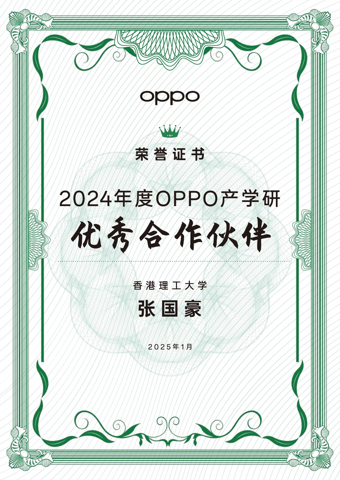
 OPPO
OPPO HONOR
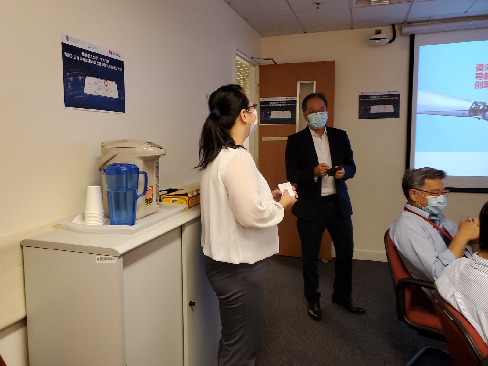
HONOR HUAWEI
 AIROHA
 MediaTek
Vertical-specific deep collaborations
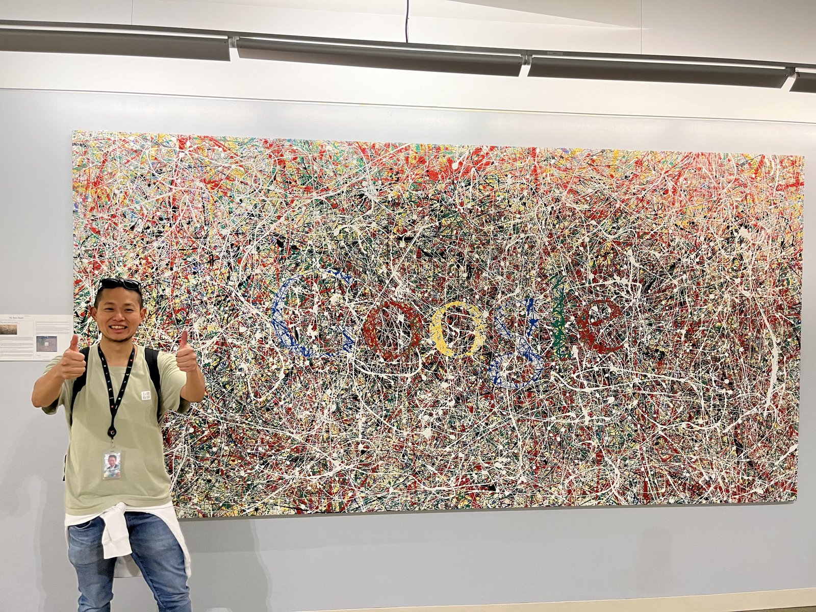
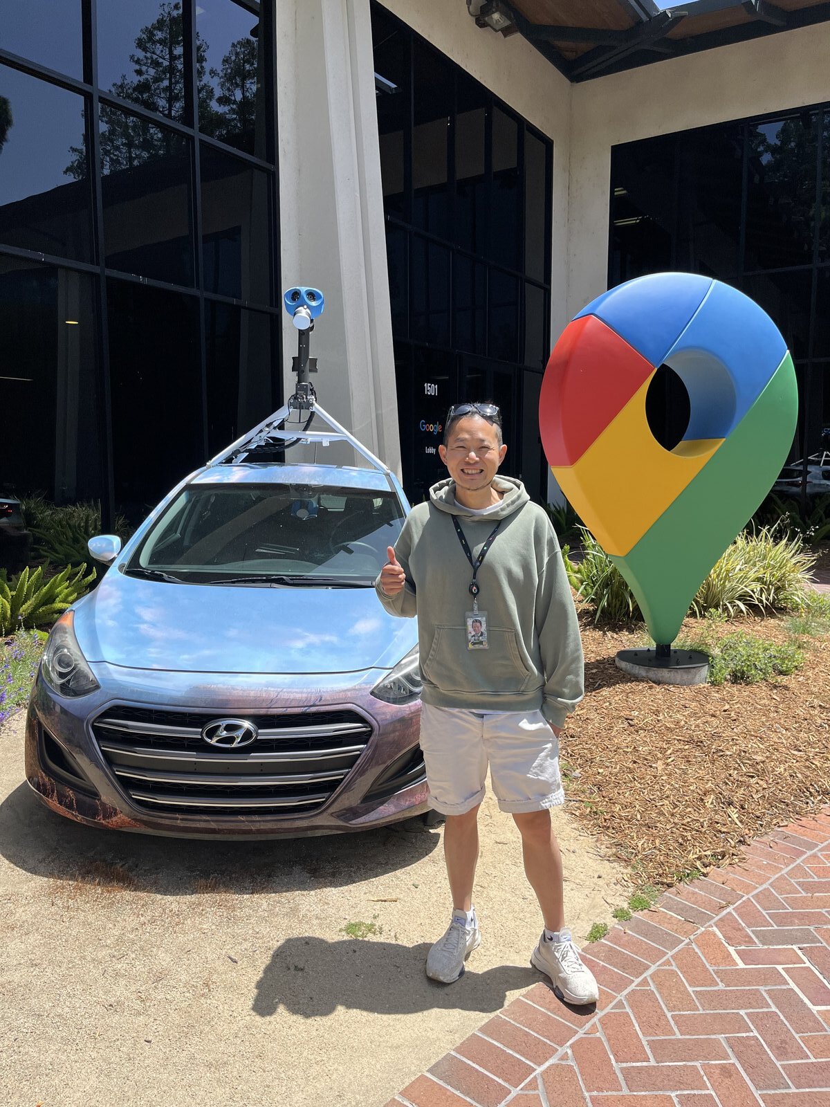
 Google
 Meituan
 Tencent
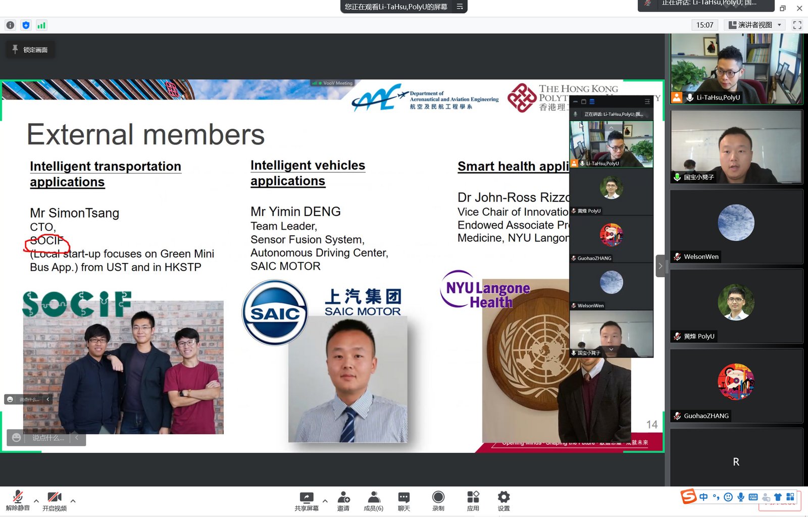
 SAIC Motor
 NYU Langone
 HKSI
HKSI Hotel ICON
 Towngas
Core research agendas and embodied translational systems
Long-running funded research agendas (A) plus applied robotics and translational systems (B). Click any card for the project page.
A. Core Research Programs
Multi-Agent Collaborative GNSS for Intelligent Transportation Systems
completedVehicles share GNSS measurements through inter-vehicle ranging to improve urban positioning accuracy and integrity for ITS — the anchor RGC RIF program of the lab.
Robust GNSS Navigation for Urban Air Traffic Management
activeAviation-grade GNSS + multi-sensor fusion navigation for low-altitude UAVs operating in dense urban environments — the urban air mobility (UAM / UTM) frontier.
Universal Vehicle Self-Diagnosis: Predictive Component Monitoring
activeData-driven, real-time predictive vehicle self-diagnosis using automotive-component data streams — extending the integrity arc from positioning into vehicle health monitoring.
3D Map-Aided GNSS (3DMA) for Smartphone and IoT
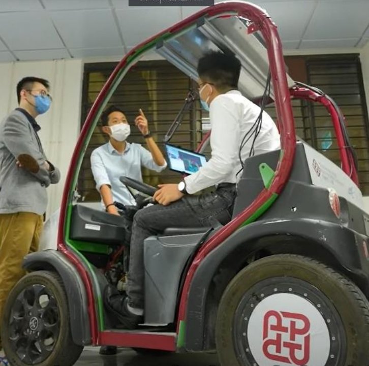
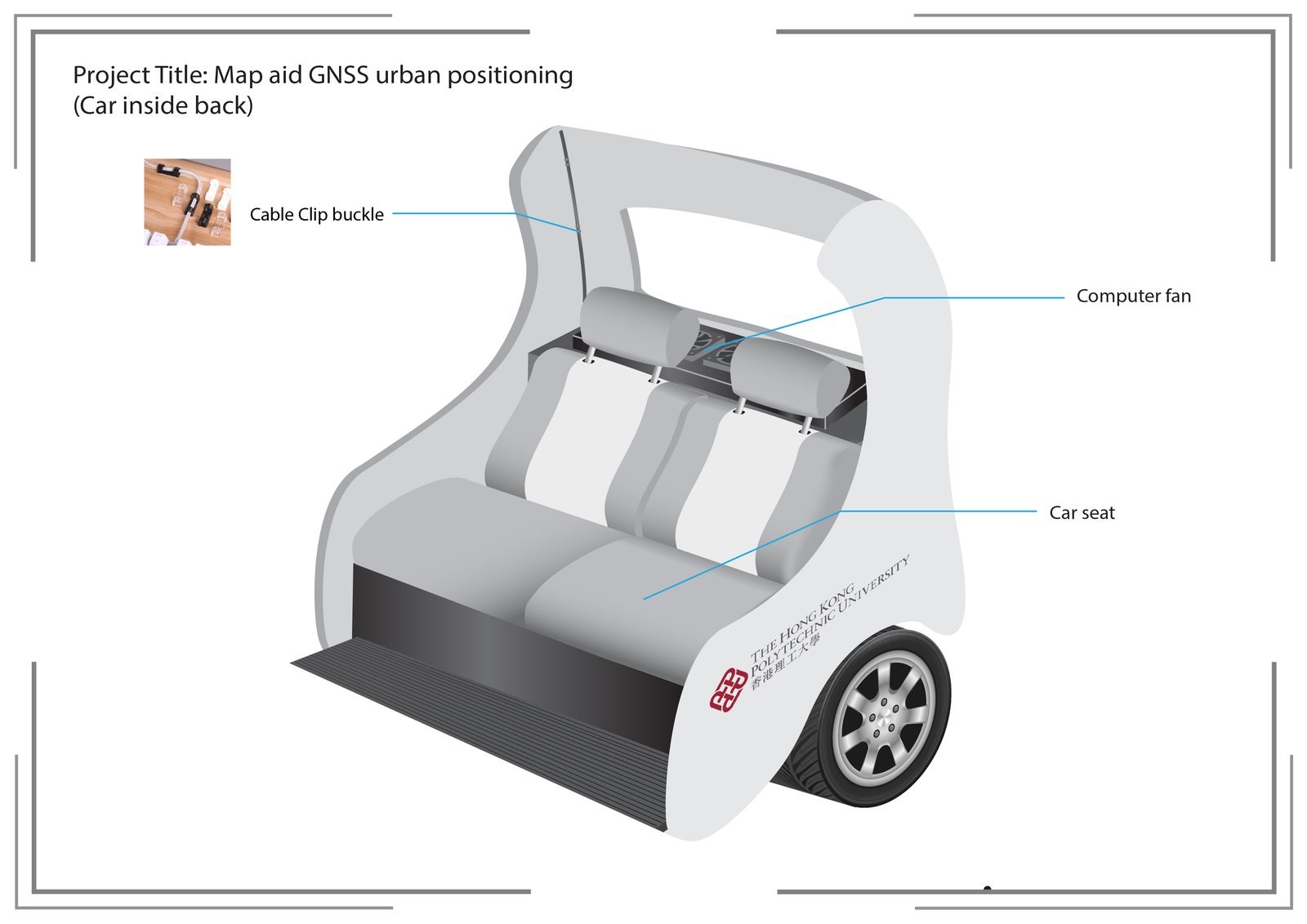
activeUsing 3D city models, skymask matching, and lightweight ray tracing to improve GNSS positioning on smartphones, wearables, and low-cost IoT receivers — the lab's signature long-running research thread, anchored by the multi-year Huawei collaborative partnership.
Environment-Aware GNSS for UAS and Autonomous Driving
activeUsing LiDAR, multi-camera perception, fish-eye sky imaging, and other rich onboard sensors to inform GNSS reliability and positioning on autonomous vehicles, UAVs, and robotic platforms — where the sensor budget and integrity bar are both higher than smartphone-grade positioning.
Seamless Vehicle Positioning Across Road-to-Parking Transitions
awardedRIAIoT-funded research on multimodal sensor fusion for reliable vehicle positioning across roads, entrances and covered parking environments.
B. Embodied and Translational Systems
Stairio: Autonomous Staircase Safety Monitoring Robot
activeResearch on handrail-mounted robots, AI vision and multi-sensor perception for staircase safety inspection and predictive maintenance.
LunaNav: Lunar Robotic Exploration
Funded project completedA completed RCUAS-funded project exploring how multi-sensor positioning can support lunar robotic navigation.
Smart Sports Monitoring System for Elite Windsurfing
activeA research collaboration between the Department of Aeronautical and Aviation Engineering at PolyU and the Hong Kong Sports Institute (HKSI), applying innovative technologies to elite windsurfing and advancing data-informed approaches to athlete monitoring and performance support.
Selected public PI / PC funding records
Selected NSFC and Mainland-China provincial schemes, international consultancies, and PolyU internal competitive grants supplement the project cards above.
Selected smaller PI/PC funded programs — expand for details
This ledger is a selection of public funding records, not an exhaustive list. Flagship programs are in Sections A–B.
External · Completed
| Year | Funder | Project | Amount | Period |
|---|---|---|---|---|
| 2021 | NYU Langone Medical Center · Consultancy | 3DMA GNSS for Vision-Impaired Pedestrians (real-time) | US$10,000 | 2021– |
| 2020 | DAAD / RGC Germany–HK Joint Research Scheme | Collaborative Navigation for Smart Cities | HK$57,200 | 2021–2022 |
| 2019 | SAIC Motor Corporation · Consultancy | Integrity for Autonomous Driving | (industry consultancy) | 2019– |
| 2018 | Shenzhen 市基金 (JCYJ20170818103653507) | Low-cost GNSS module for UAV urban positioning strategy | RMB 300,000 | 2018–2020 |
Internal (PolyU) · Active
| Year | Funder | Project | Amount | Period |
|---|---|---|---|---|
| 2025 | PolyU · Financial Support for Book Writing Scheme (97HR) | Principles of Indoor Positioning and Indoor Navigation | HK$1,200,000 | 2025–2028 |
| 2024 | PolyU · Research Centre for Metaverse | Robotics, AI, navigation, metaverse interaction | HK$300,000 | 2024– |
Internal (PolyU) · Completed
| Year | Funder | Project | Amount | Period |
|---|---|---|---|---|
| 2022 | PolyU · FENG Intra-Faculty Interdisciplinary Project | Perception-based GNSS PPP-RTK / LVINS for UAS in Urban Canyons | HK$400,000 | 2022–2024 |
| 2020 | PolyU · RISUD EFA (Project Coordinator) | Resilient Urban PNT for UAV Remote Sensing in Urban Regions | HK$1,000,000 | 2020–2023 |
| 2019 | PolyU · FENG Intra-Faculty Interdisciplinary Project | Security Enhancement of Positioning Sensors on Connected AVs | HK$400,000 | 2019–2020 |
| 2017 | PolyU · Startup Fund (AAE) | Positioning and Navigation for AV by Sensor Integration | HK$550,000 | 2017–2020 |
| 2017 | PolyU · Internal Grant for GRF/ECS-rated-3.5 (CRG) | GPS Error Modelling using 3D Point Cloud | HK$105,000 | 2017–2019 |
| 2016 | PolyU · Large Equipment Fund (Teaching) | Equipment for Teaching Flight Mechanics, GNC | HK$1,132,815 | 2016–2017 |