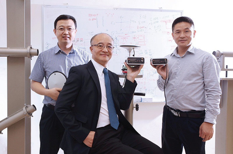
Prof. Ding Xiao-li (middle) and research team members
Technological advances at PolyU have enhanced the accuracy of geohazard detection and the reliability of its management.
Geohazards occur when man-made structures, such as buildings, and natural structures, such as slopes, are deformed in various ways. Hong Kong has many slopes prone to landslides, which have killed nearly 500 people since World War II. When taking possible injuries and property damage into consideration, geohazard is a significant threat to public safety.
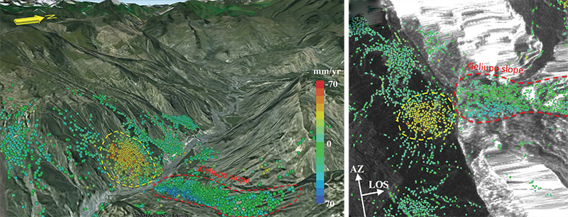
Slope deformation rates determined by InSAR technology.
Detecting early indications of geohazards and monitoring their changing status are eff ective ways of managing them and minimising their impacts. In particular, monitoring the progressive deformation of slopes can be a crucial factor in preventing landslides. Under the leadership of principal researcher Prof. Ding Xiao-li of the Department of Land Surveying and Geo-Informatics, a research team has greatly advanced two main streams of technology for geohazard detection over the last two decades: monitoring and management.
In the monitoring stream, the team has worked on advancing Global Navigation Satellite System (GNSS) technologies, which include developments in hardware design, software modules and specialised data processing models and algorithms. While GNSS is traditionally an important technology for monitoring deformations in structures and the crust of the earth, its largescale application is limited by its high hardware cost, as every point to be monitored requires a set of GNSS instruments. In view of this, the research team has developed multi-antenna GNSS technologies that significantly reduce the cost of such monitoring. These technologies have become industry standards in monitoring landslides and structural safety and have been implemented in many countries to monitor slopes and dams.
In the management stream of technology advancement, the team has used satellite radar remote sensing images to provide information about the topography and deformation of areas basing on spaceborne Interferometric Synthetic Aperture Radar (InSAR). This technology is an advantageous method in that it operates independently of sunlight and weather and can provide large-scale ground deformation measurements even for spatially dense areas. The research team’s innovations in data-processing models and algorithms have made InSAR measurement results more reliable and accurate.
Prof. Ding’s team received a 2017 PolyU Distinguished Knowledge Transfer Excellence Award (Research Excellence) for its decades of effort and many achievements in the fi eld of satellite-based geohazard monitoring technologies. ♦
