
Research findings of PolyU's Department of Land Surveying and Geo-Informatics (LSGI) are now showcasing in an exhibition titled "Monitoring Hong Kong's urban heat island". Held until the end of 2014, the exhibition features the overview of temperatures in Hong Kong illustrated by satellite and aerial images recorded for over a decade. Also on display are the helicopter-borne thermography and three-dimensional thermal models to indicate how building designs, materials and planning practices affect the formation of urban heat island.
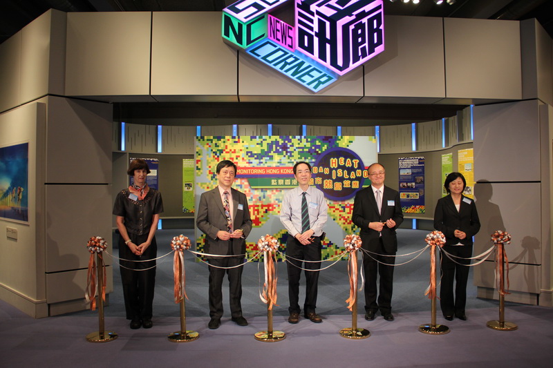
Prof. Ding Xiao-li, Head of LSGI, and Prof. Janet Nichol, principal investigator of the research, officiated at the opening ceremony of the exhibition together with Mr Edwin Lai Sau-tak, Assistant Director of Hong Kong Observatory, and representatives from the Hong Kong Institute of Education and Hong Kong Science Museum.